We’ve Got You Covered
Analytics You Can Trust
Supply Chain Design
Supply Chain Design can mitigate increasingly frequent disruptions due to pandemics, geopolitical events or natural disasters. Two of the original developers of LogicNetPlus, the leading supply chain design software of its generation, have reunited to create a Supply Chain Optimization (SCO) platform to revolutionize the way companies approach supply chain modeling and network optimization.
Learn MoreMulti-Echelon Inventory Optimization
Having the right SKU in the right place at the right time has never been more challenging. Multi-Echelon Inventory Optimization, part of our Supply Chain Optimization (SCO) platform, will enable organizations to maximize fill rates while minimizing costs.
Learn MoreDemand Forecasting
Designed specifically for the automotive aftermarket, Inventory Analyst (IA), enables automotive part suppliers, distributors and retailers to conduct advanced Category Management analyses at the SKU level. We bring together part catalog, fitment, VIO and Replacement Rates data to generate the most accurate market sizing estimates and part-level demand forecasts available in the industry.
Learn MoreRapid Deployment App Builder
Has your Data Science team created an optimization algorithm that will help your organization operate more efficiently but deployment is a headache? Let us take care of the heavy lifting for you while ensuring data integrity and solver scalability.
Learn More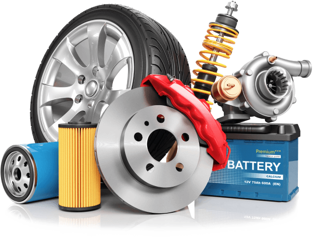
Experience Matters
About Us
For nearly 10 years Aftermarket Analytics (previously TerraSeer) has been helping businesses in the automotive aftermarket improve category management, increase supply chain efficiency, and boost profits with our predictive models and easy-to-use data portals. In 2017 we developed Inventory Analyst, an off-the-shelf part-level demand forecasting solution specifically designed for the automotive aftermarket. Now, in 2021, we have expanded our product suite by developing the Supply Chain Optimization (SCO) Platform. SCO will revolutionize supply chain planning in the aftermarket and beyond by offering Supply Chain Design, Multi-Echelon Inventory Optimization and a flexible Rapid Deployment App Builder, all within one easy to use and affordable Python platform.